The whole boat,
in your pocket.
An onboard app written by marine electrical engineers: an anchor alarm that watches the swing circle, navigation on charts you can download for the whole cruising area, AIS traffic and marine VHF off an RTL-SDR dongle, an automatic ship's log and a service record for the boat. It works offline, without an account.
Built for the boat, not for the app store.
Every module answers a real situation on board: a dragging anchor at 3 a.m., a ship on a closing course in poor visibility, a battery bank that will not charge, a logbook the insurer wants to see.
AIS traffic and VHF, off your own antenna
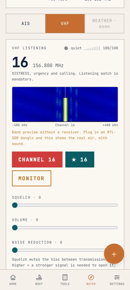
An RTL-SDR dongle plugged into the phone turns it into an AIS receiver and a marine VHF scanner. Class A and B vessels stand on the chart with MMSI, name, course and speed, with CPA and TCPA worked out for each. The 156-162 MHz band covers channel 16 and the rest, with squelch, a signal meter and a spectrum waterfall. Without a dongle the panel shows a band preview, so you can see the interface first.
An anchor watch that wakes you
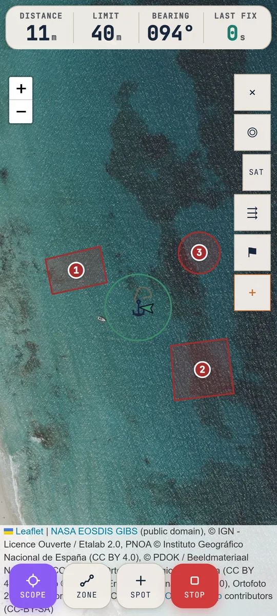
Set the alarm radius yourself or let the assistant work it out: give it the depth, the expected tide rise, the height of the bow roller and the wind force, and you get the recommended scope, the swing circle and a ready radius. Rocks, shallows and neighbours go on the chart as circles or polygons. Monitoring keeps running with the screen off, and the remote alarm reaches a second phone ashore.
Charts that stay when the signal goes
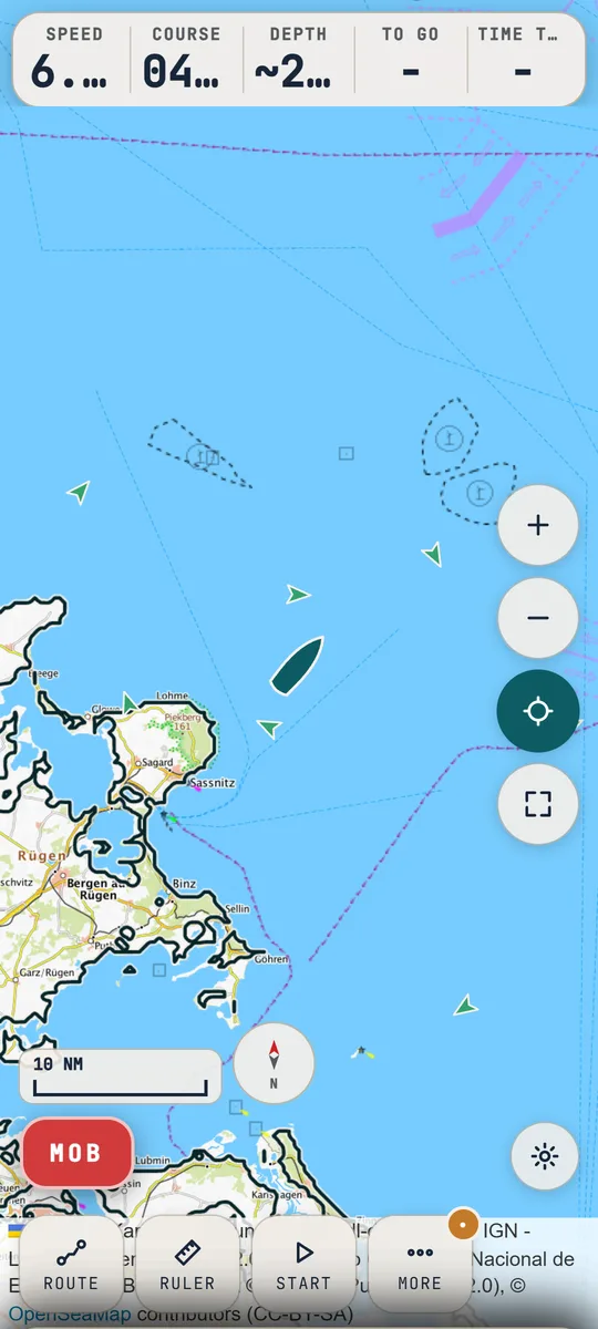
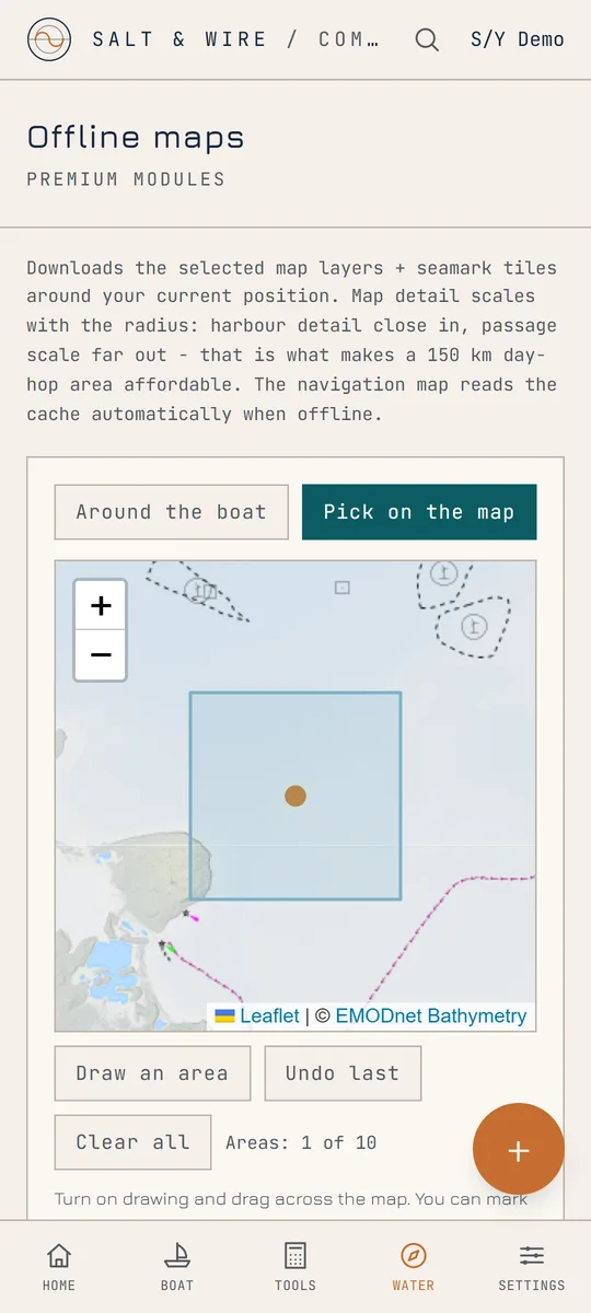
EMODnet bathymetry with isobaths and depth shading, satellite imagery, national topographic maps within their coverage and OpenSeaMap seamarks on top. Mark your cruising area as rectangles and the app downloads the tiles into the phone. A route gives speed, time to go and the sailed track, and the leg check flags the ones that cross land or clip a charted danger.
Barometer and sea state
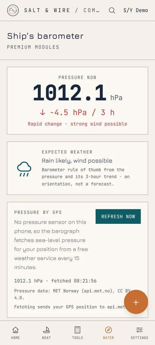
A barograph on board: 48 hours of history, the three-hour tendency and an alarm when the pressure falls overnight. A phone without a pressure sensor fetches the reading for its position. The sea-state meter works out significant wave height and period from the phone's own motion, the way a wave buoy does.
The log writes itself, the boat keeps a file
Entries on departure, every hour and on arrival: position, course, speed, pressure, sea state. The PDFs cover the logbook, service history, fault report, handover sheet, float plan and a sea-time statement. Alongside them a service record with photos and voice notes, reminders by date or engine hours, spare-parts inventory and seasonal checklists.
Crew mode and safety
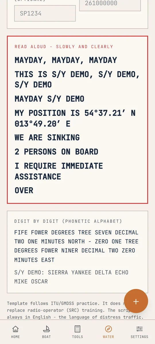
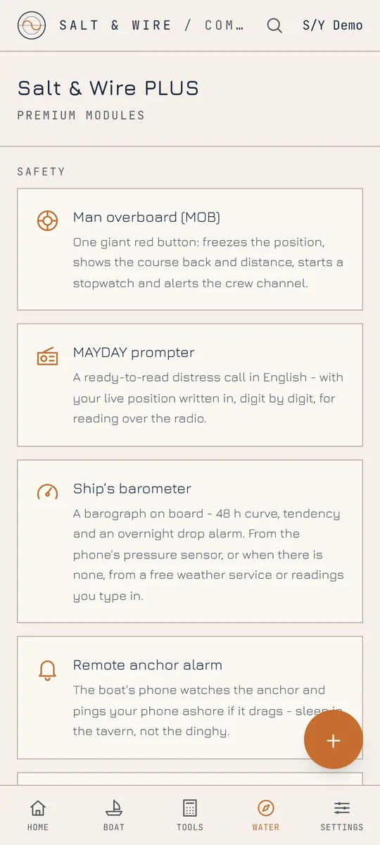
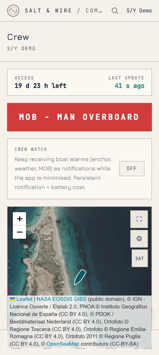
One subscription per boat. The crew installs the free app and sees position, anchor watch, barometer and log, receives the boat's alarms, adds expenses to the kitty and can raise an MOB alert. Access is handed over by touching phones or with a code. The MAYDAY prompter assembles the call with your position read digit by digit.
Have a look around the deck.
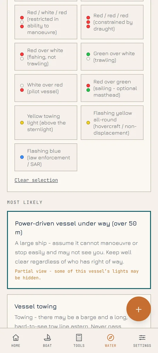
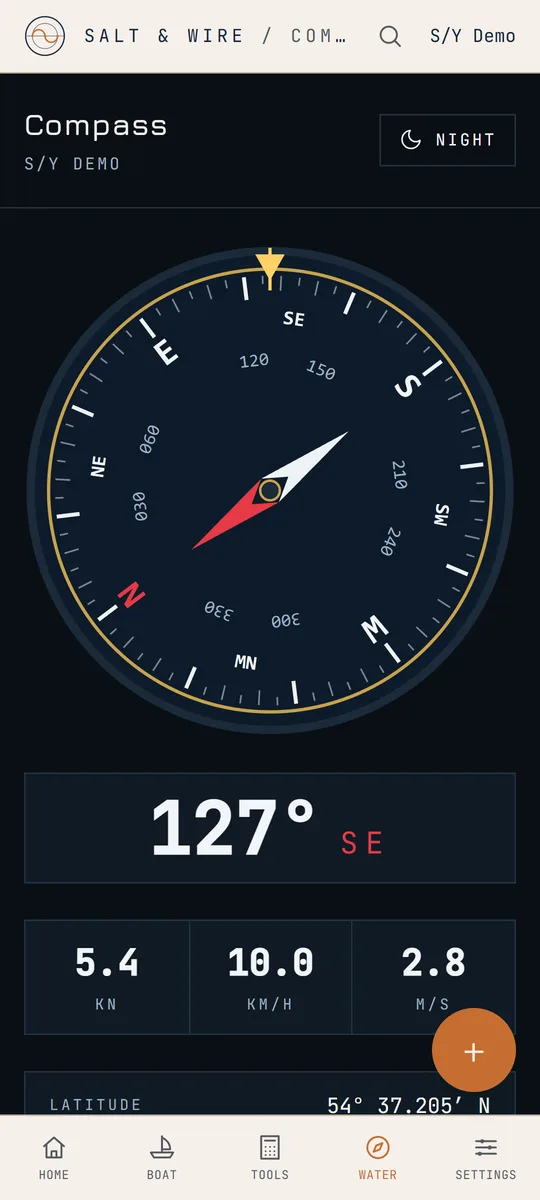
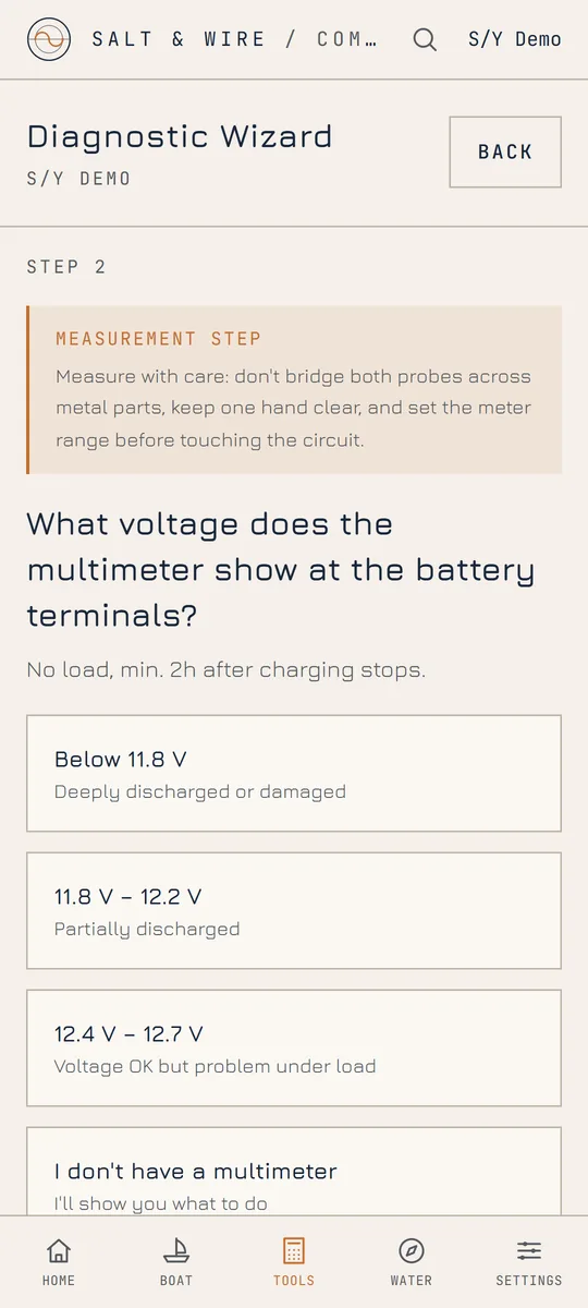
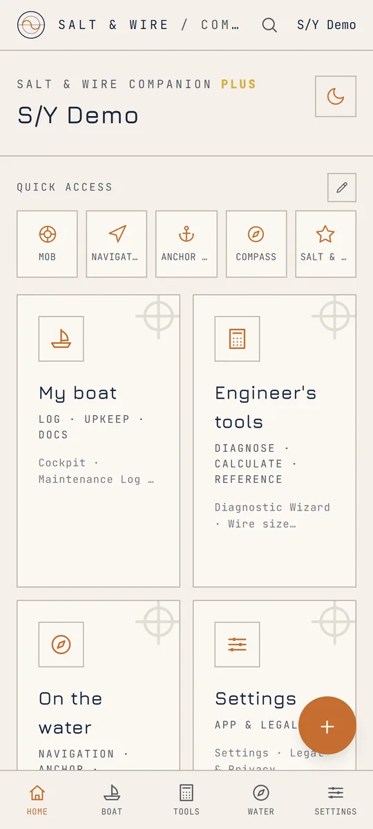
Real screens from the current build. The interface speaks 8 languages - English, Polish, German, French, Spanish, Italian, Dutch and Portuguese - and has a red night mode for watchkeeping.
Everything you enter lives locally on your phone. There are no user accounts, no analytics, no ads and no servers of ours holding a copy. Sharing features are off by default and protected by secret codes you control.
Read the full privacy policy- All logs, photos and documents stored locally on the device
- No account, no sign-up, no e-mail required
- No analytics, no tracking, no advertising
- Location is used for navigation features only - never for profiling
- GDPR-compliant; policy available in English and Polish
Out now, on Google Play.
The core of the app is free: anchor watch, navigation, compass, logbook, service record, calculators and the safety tools. Salt & Wire PLUS unlocks the premium modules - the AIS and VHF receiver, offline maps, the remote anchor alarm, crew mode and the PDF exports.
Something not working as it should, or a module you are missing? Write to saltandwire@gmail.com - the mail goes straight to the engineer who builds the app.