Salt & Wire Companion:
the onboard app for skippers.
Salt & Wire Companion is an Android app for sailors and boat owners, written by marine electrical engineers: an anchor alarm, offline navigation with EMODnet bathymetry and topographic maps, an AIS and VHF receiver from an RTL-SDR dongle, position without GPS, ship's log and crew mode. It works without coverage, without an account and without ads.
What it does on board.
Every module answers a situation the boat puts you in: an anchor dragging at three in the morning, a ship on a closing course in poor visibility, a battery bank that will not charge, a logbook the insurer wants to see.
AIS and VHF off your own antenna
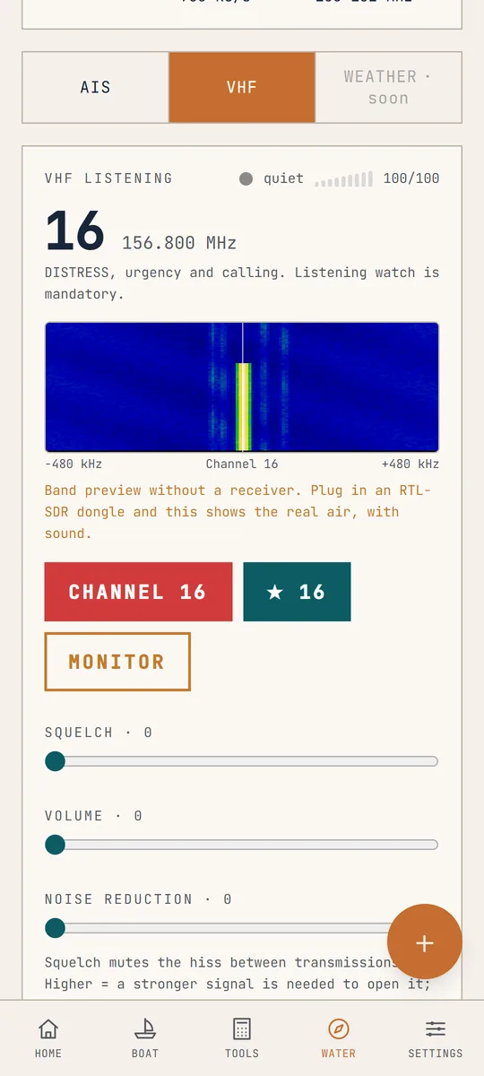
An RTL-SDR dongle in the phone is an AIS receiver and a marine VHF scanner. The signal comes off your own antenna, not the internet, so you see ships also without coverage. Class A and B vessels stand on the chart with MMSI, name, course and speed, and for each one CPA and TCPA: how close and in how many minutes. The 156-162 MHz band with channel 16, squelch, a signal meter and a spectrum waterfall. Without a dongle the panel shows a preview of the band, so you know what you are getting before you buy the dongle.
An anchor watch that wakes you
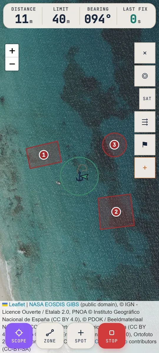
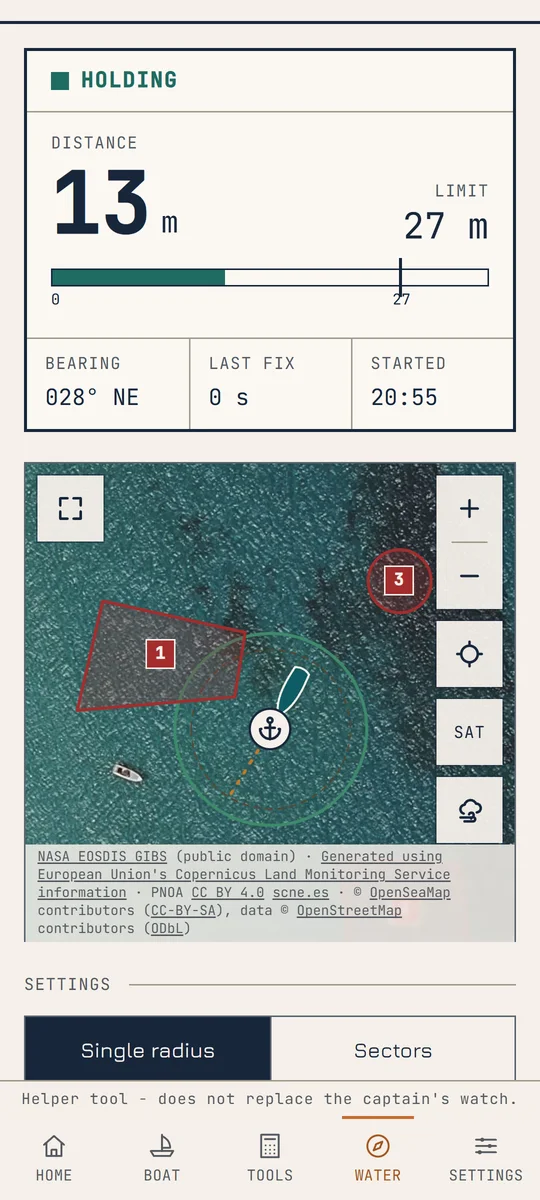
Set the alarm radius yourself or work it out with the assistant: from depth, the expected tide rise, the height of the bow roller and the wind it gives the chain length, the swing circle and the alarm radius. Rocks, shallows and neighbours go on the chart as circles or polygons, and the alarm sounds when the boat crosses one. The watch keeps running with the screen off or the app minimised, and the remote alarm also rings on a second phone ashore. At the top of the screen the watch says in large figures whether the anchor holds and how many metres are left to the limit, so one look from the bunk is enough.
Charts that stay when the signal goes
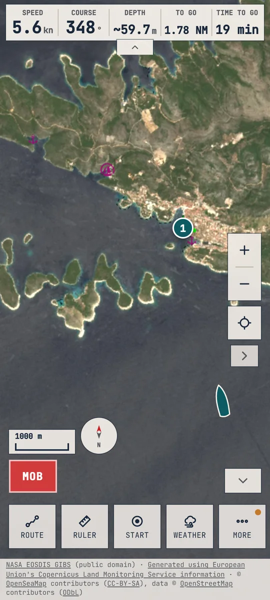
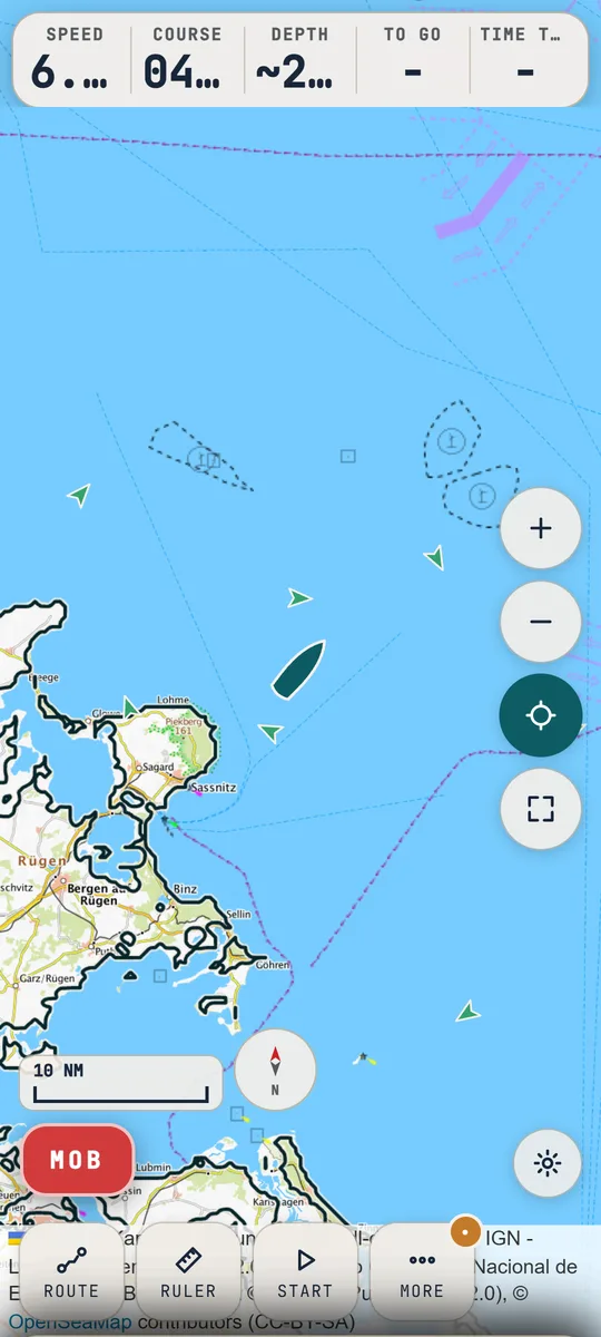
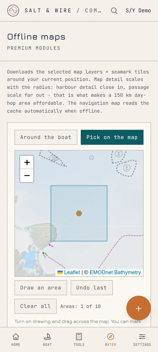
EMODnet bathymetry with isobaths and depth shading, and OpenSeaMap seamarks. In the SAT style a 10 m satellite image covers all of Europe, sharp enough to make out the breakwaters and bays of a harbour you have never visited, and aerial photos of 10 to 50 cm take over in Poland, France, Spain, the Netherlands, north-west Germany and three Italian regions. The TOPO style gives topographic maps of Germany, France, Spain, Italy, the Netherlands, Poland, Norway, Sweden and Finland, NOAA charts on US waters and OpenStreetMap everywhere else. You mark the cruising area as rectangles and the app downloads the bathymetry, imagery, national aerial photos and seamarks into the phone, so without coverage navigation reads them on its own. Route planning goes from berth to berth. The app leads you out of the harbour and around headlands and shoals for your boat's draught, marks the last few hundred metres to steer by eye and keeps the route saved for each boat. Underway it gives speed, time to go and the sailed track.
Weather on the chart, barometer and sea state
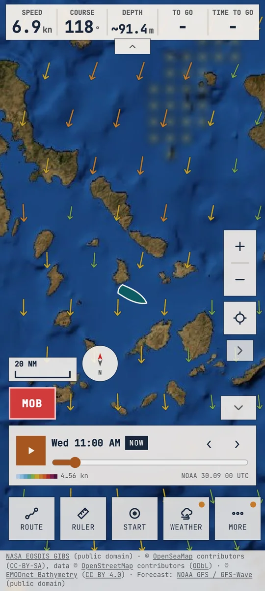
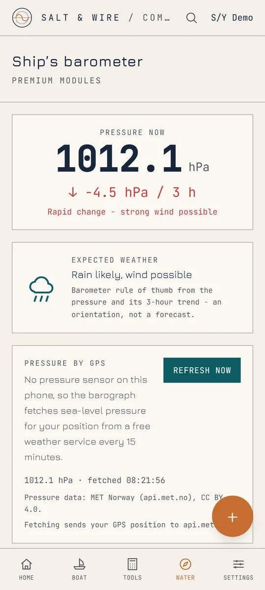
Wind and waves, rain and thunderstorm risk, plus air and water temperature five days ahead, drawn on the same chart where you plan the route and lie at anchor. The slider shows what the night brings, and one tap downloads the whole forecast for the time without coverage. Press play and the forecast runs through all five days, with the wind shown as arrows, barbs or streaks. NOAA data, water and rainfall images from NASA satellites. Thunderstorm risk is an estimate from the forecast. Underneath, a 48-hour barograph with an alarm when the pressure falls, so a front does not catch you asleep at anchor, and a sea-state meter that works out wave height and period from the phone's motion.
The log writes itself, the boat keeps a file
An entry on departure, every hour and on arrival: position, course, speed, pressure, sea state. From that come the PDFs: logbook, service history, fault report, handover sheet, float plan and sea-time statement. The service record takes photos and voice notes, and that is why the app asks for the microphone: it uses it only while you record, and the recordings stay on the phone. Reminders by date or engine hours, a spare-parts inventory and seasonal checklists sit alongside.
Crew mode and safety
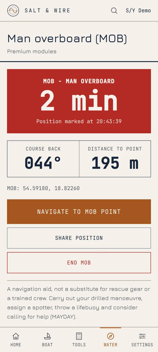
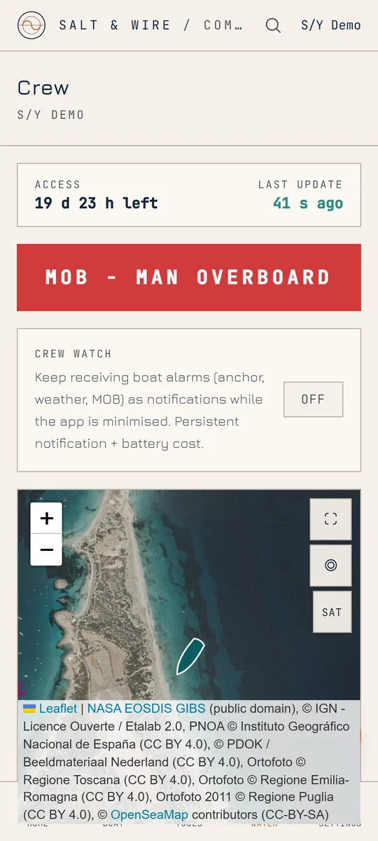
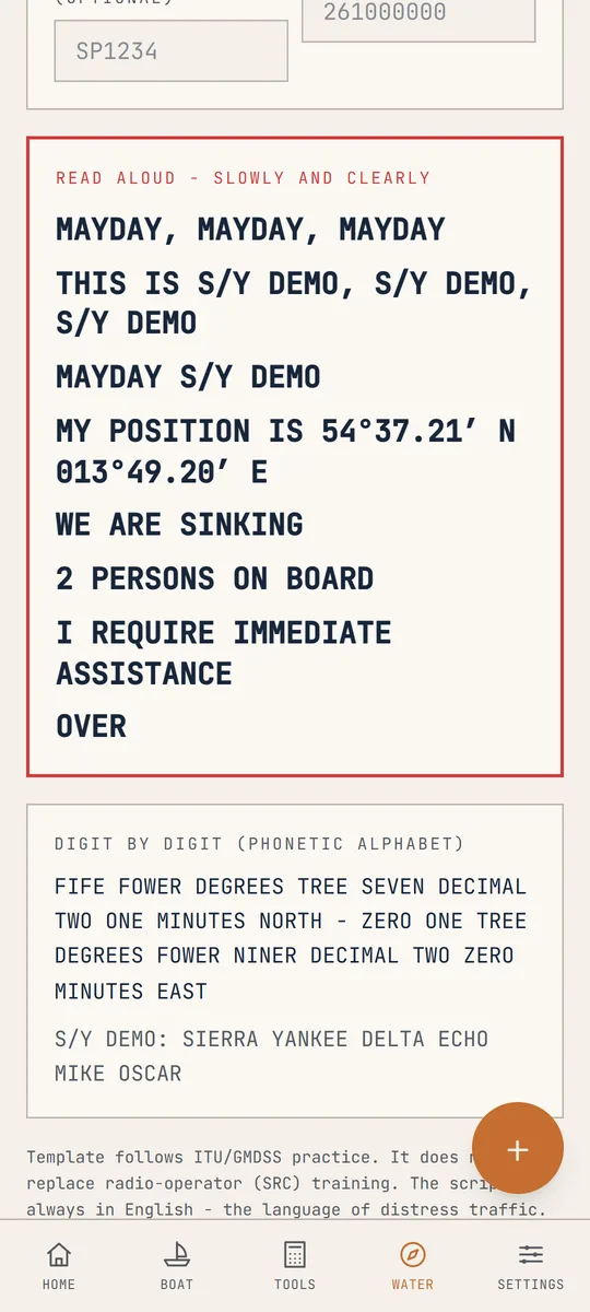
One subscription per boat. The crew installs the free app and sees position, anchor watch, barometer and log, receives the boat's alarms, adds expenses to the kitty and can raise an MOB alert. Access is handed over by touching phones or with a code. The MAYDAY prompter assembles the call with your position read digit by digit.
Position without GPS, from signals already in the air.
GPS gets jammed and spoofed on the Baltic, the Black Sea and the eastern Mediterranean, and a receiver can simply die. When the fix goes, Salt & Wire Companion still says roughly where the boat is, from radio signals that are already in the air.
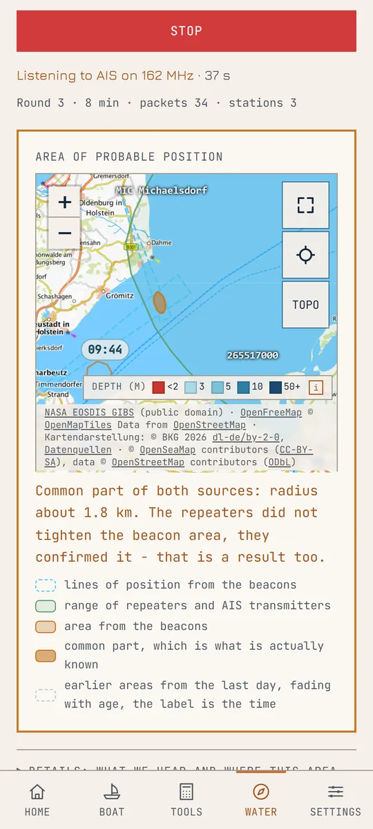
The module listens with the same RTL-SDR dongle that serves AIS and VHF. An aviation VOR beacon encodes the bearing in its signal, so it says which way you are from it. An amateur radio APRS repeater and an AIS transmitter (a ship, a shore station, a buoy) send their own position, so hearing one puts you inside its range. The app combines what it hears into one area on the map.
- One button. Nothing to type, no frequencies, no antenna to turn. Tell it whether you are stopped or under way and, if you like, the log speed, and choose what to listen to: aeronautical beacons, radio repeaters, AIS transmitters. On a lake you untick AIS and the round gets shorter.
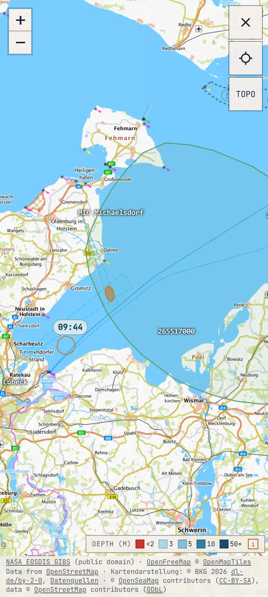
- An area, never a point. Two beacons give a couple of kilometres, a single repeater a few dozen. The map shows the beacon area, the range circles and their common part.
- Keeps listening in the background when you switch screens, and keeps a trail of earlier areas from the last day.
- Never steers the boat. The radio position is a check for the navigator. It is not fed to routing, the anchor watch or the MOB alarm, so a wrong radio fix cannot take the helm.
Part of PLUS. Needs an RTL-SDR dongle with an antenna on an OTG adapter. Works without internet: the beacon table is built in.
The video was generated with AI.
Have a look around the deck.
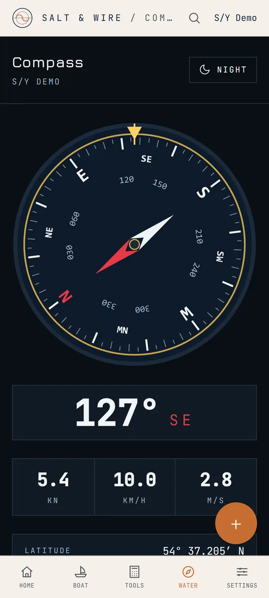
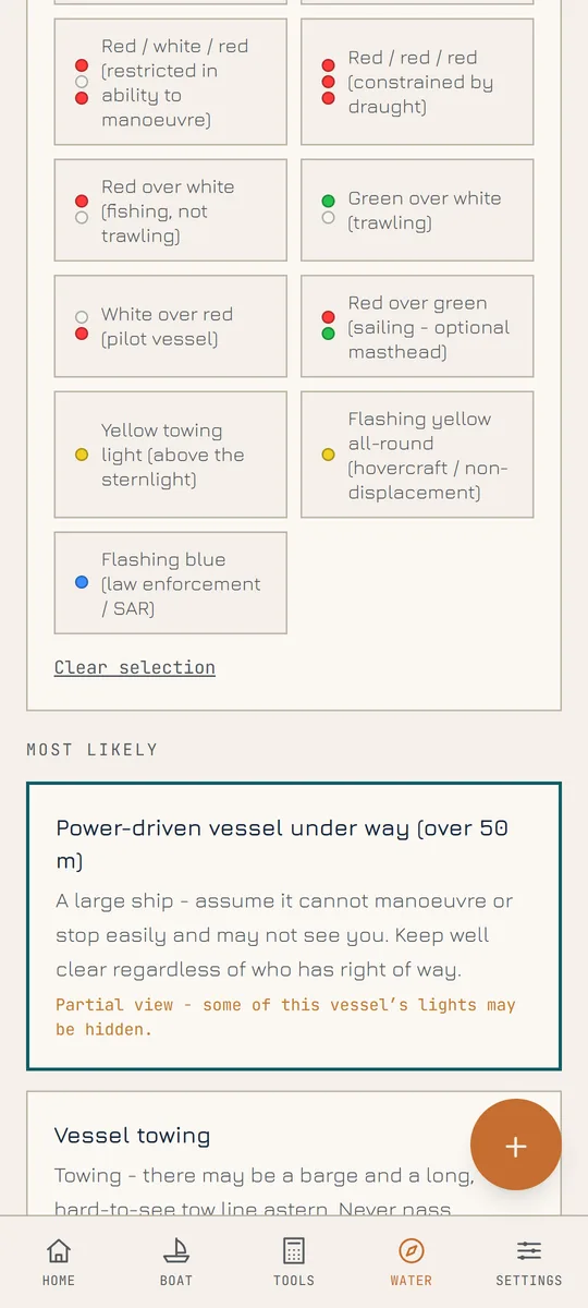
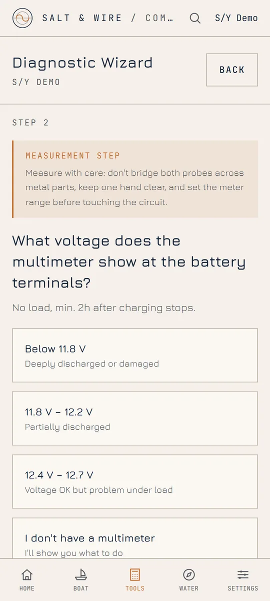
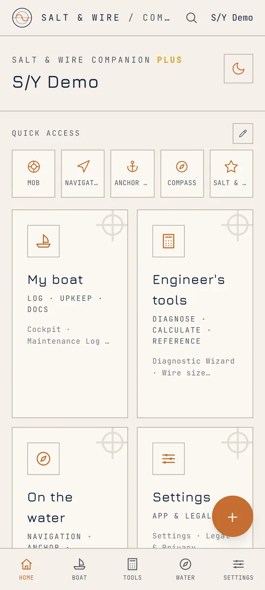
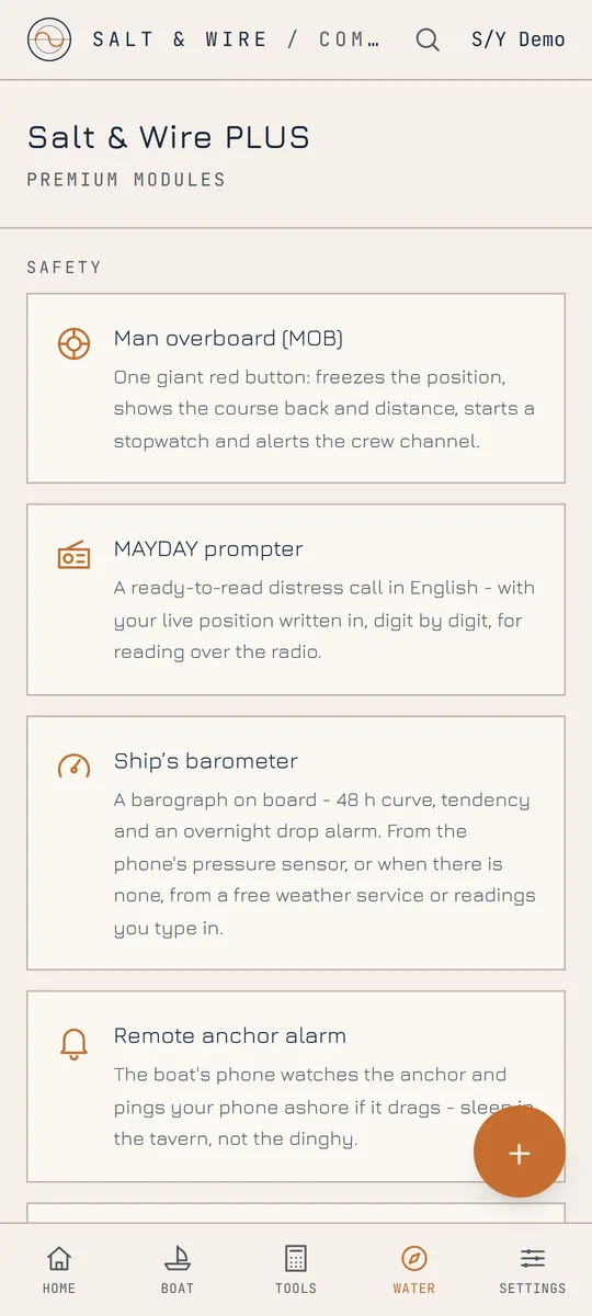
Real screens straight out of the app - nothing drawn in afterwards. The interface speaks 8 languages: English, Polish, German, French, Spanish, Italian, Dutch and Portuguese, with a red night mode for watchkeeping.
Everything you enter lives locally on your phone. There are no user accounts, no analytics, no ads and no servers of ours holding a copy. Sharing features are off by default and protected by secret codes you control.
Read the full privacy policy- All logs, photos and documents stored locally on the device
- No account, no sign-up, no e-mail required
- No analytics, no tracking, no advertising
- Location is used for navigation features only, never for profiling
- Written to the GDPR, with the policy in English and Polish
Questions sailors ask us.
Short answers, the same ones the app gives on screen.
Can Salt & Wire Companion find the boat's position without GPS?
Yes, roughly. The Position without GPS module listens to aviation VOR beacons, amateur radio APRS repeaters and AIS transmitters (ships, shore stations, buoys) through an RTL-SDR dongle and draws the area where the boat must be. It is an area, from a couple of kilometres with two beacons to a few dozen with a single repeater, never a point, and it is there to check your own dead reckoning.
What happens when GPS is jammed or spoofed?
The navigation screen warns as soon as fixes stop coming, and the crew view shows how old the last position is. The Position without GPS module gives you an independent, radio-based check: an area on the map to compare with your dead reckoning. It never feeds navigation, the anchor watch or the MOB alarm, so a wrong radio fix cannot steer the boat.
What hardware do I need for AIS, VHF and the position without GPS?
An Android phone and an RTL-SDR USB dongle with an antenna, plugged in through an OTG adapter. One dongle serves the AIS receiver, the marine VHF panel and the position module. It only receives, so it does not replace a VHF radio or an AIS transponder.
Does the app need an account or an internet connection?
No account, ever. The core works offline: anchor watch, navigation on downloaded charts, compass, logbook, service record and calculators. The connection is used only when you choose it, for downloading chart tiles, fetching a pressure reading or sharing with the crew.
What is free and what is in PLUS?
Free: anchor watch, navigation, compass, logbook, service record, calculators and the safety tools. PLUS, one subscription per boat with the crew for free: the AIS and VHF receiver, offline maps, the remote anchor alarm, crew mode, position without GPS and the PDF exports.
Does the anchor alarm work with the screen off?
Yes. The watch keeps running with the screen off and the app minimised, and the alarm repeats while the boat keeps dragging. No-go zones you draw on the chart survive a restart. The remote alarm reaches a second phone ashore.
Which charts work offline?
Offline packs store EMODnet bathymetry with isobaths and depth shading, the satellite image of Europe, the national aerial photos (Poland, France, Spain, the Netherlands, north-west Germany and three Italian regions) and OpenSeaMap seamarks: you draw the cruising area as rectangles and the tiles are stored on the phone. The drawn topographic maps of Germany, France, Spain, Italy, the Netherlands, Poland, Norway, Sweden and Finland and the OpenStreetMap backdrop are shown live and need a connection.
Is there an iPhone version?
Not yet. Android is on Google Play. iOS is in preparation, with no date.
Where does the boat's data go?
Nowhere. Logs, photos, documents and positions stay on the phone. There is no analytics, no advertising and no server of ours holding a copy. Sharing with the crew is off by default and protected by codes you control.
Store graphics, ready to download.
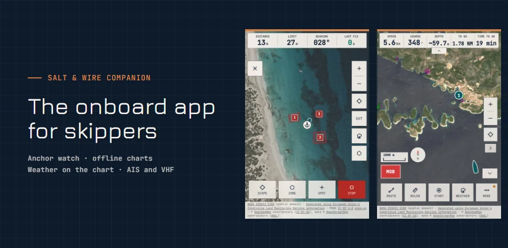
The screenshots and the feature graphic from our Google Play listing, in English. Use them when you write about the app or show it at your sailing club.
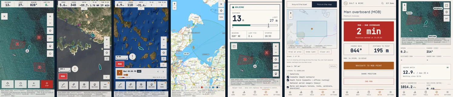
- Phone: 8 screenshots, 1080 × 1920ZIP · 12.1 MB
- 7-inch tablet: 8 screenshots, 1080 × 1920ZIP · 12.5 MB
- 10-inch tablet: 8 screenshots, 1440 × 2560ZIP · 15.5 MB
- Feature graphic: 1024 × 500PNG · 347 KB
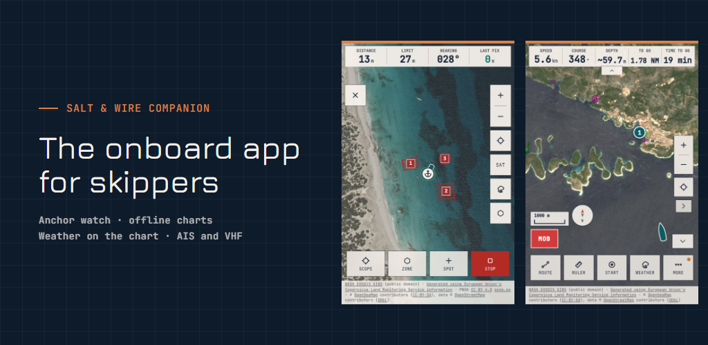
Each ZIP holds PNG files and the feature graphic. The screens come straight from the app, nothing is drawn in.
Out now, on Google Play.
The core of the app is free: anchor watch, navigation, compass, logbook, service record, calculators and the safety tools. Salt & Wire PLUS unlocks the premium modules: the AIS and VHF receiver, position without GPS, offline maps, the remote anchor alarm, crew mode and the PDF exports.
Something not working as it should, or a module you are missing? Write to saltandwire@gmail.com - the mail goes straight to the engineer who builds the app.